
Construction is an industry where accuracy, efficiency, and safety are critical. As projects grow in size and complexity, the need for real-time data and precise monitoring has increased dramatically. One of the most impactful technologies introduced to the construction sector is drone software. Specifically, drone software for construction is now widely used to manage, monitor, and optimize different phases of building and infrastructure projects.
From tracking project progress to detecting safety risks and managing resources, drones combined with intelligent software offer a practical solution for modern construction challenges. This blog explores how these tools work, their key features, benefits, and how drone data processing software plays a vital role in turning aerial data into actionable insights.
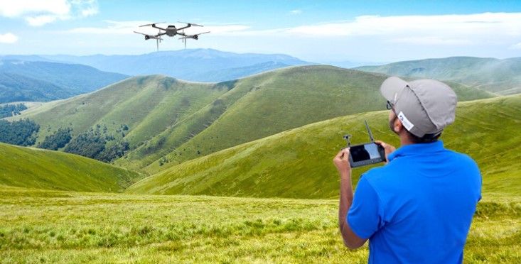
What is Drone Software for Construction?
Drone software for construction refers to digital platforms that work with drones to gather, analyze, and present data from construction sites. These tools handle flight planning, aerial imagery collection, automated mapping, and reporting. They help project managers, engineers, and site supervisors gain a clearer view of operations, often in real-time.
Drones capture high-resolution images, video, and spatial data of job sites. The software then processes this data to create topographical maps, 3D models, orthomosaics, and volumetric measurements. This information is critical for making informed decisions, optimizing resources, and reducing manual work on-site.
How Drone Software Supports Construction Projects
Drone technology has quickly become a valuable part of construction workflows. Here’s how software enhances its role:
Site Surveying and Mapping
Before construction begins, accurate surveys are essential. Drone software provides detailed maps and terrain data far quicker than traditional surveying methods. This helps teams plan layouts, assess drainage paths, and identify site preparation requirements.
Project Progress Tracking
Regular drone flights capture visual records of site development. This data is analyzed and presented using software to monitor construction stages, verify completed work, and compare progress to the original schedule.
Safety and Compliance Monitoring
Construction sites can be hazardous. Drone imagery highlights unsafe zones, helps enforce safety regulations, and provides visual documentation for audits and inspections.
Stockpile and Volume Measurement
Earthworks and materials management often require accurate volume calculations. Software can measure material stockpiles by comparing elevation data, saving time compared to manual techniques.
Cut-and-Fill Analysis
Software tools compare current site conditions with design models to calculate how much material needs to be added or removed. This helps in reducing wastage and managing equipment usage efficiently.
Key Features of Drone Construction Software
To perform these functions effectively, drone software for construction comes with several specialized features:
Flight Path Automation: Simplifies data capture with pre-set routes, ensuring consistent coverage.
Real-Time Data Upload: Immediate syncing of aerial imagery to cloud-based platforms for analysis.
3D Modeling Tools: Creation of interactive, visual representations of structures and terrain.
Volume and Distance Calculation: Enables precise measurement of materials and site dimensions.
Progress Reports: Customizable reports based on project metrics, imagery, and annotations.
Integration with Design Tools: Compatible with CAD and BIM platforms for seamless workflow management.
Role of Drone Data Processing Software
Capturing aerial images is only the first step. It’s the analysis and conversion of raw data that truly adds value. This is where drone data processing software becomes indispensable. It processes large volumes of images and geospatial information into usable formats like 2D maps, orthomosaics, point clouds, and digital elevation models (DEMs).
The key capabilities of drone data processing software include:
Image Stitching: Merging hundreds of overlapping images to create a unified, high-resolution view.
Georeferencing: Associating images with real-world coordinates using GPS metadata or ground control points.
Point Cloud Generation: Representing 3D surfaces and structures with detailed spatial data points.
Terrain Modeling: Creating digital terrain and surface models to analyze elevation and slope.
Change Detection: Comparing data from different time periods to identify progress or deviations.
This software reduces the workload of surveyors, analysts, and project managers by automating repetitive and complex tasks. It also helps generate accurate, scalable outputs that are essential for decision-making in high-stakes environments.
Benefits of Drone Software in Construction
Time Savings
Drone software speeds up site inspections, surveys, and documentation. What used to take days can now be completed in hours.
Cost Efficiency
Fewer personnel are needed on-site for measurement and inspection tasks. Additionally, real-time insights help avoid costly errors and delays.
Improved Accuracy
By using GPS-based mapping and high-resolution imaging, drone software provides more precise measurements than many traditional methods.
Better Collaboration
Project stakeholders can view visual updates from anywhere, helping align teams and improving communication between site managers, architects, and clients.
Enhanced Safety
Remote monitoring reduces the need for workers to enter hazardous areas for inspections or measurements, reducing the risk of on-site accidents.
Conclusion
The role of drone software for construction is rapidly expanding. From pre-construction planning to final inspections, drone solutions help increase efficiency, accuracy, and safety on job sites. Alongside this, drone data processing software ensures that the captured data is transformed into clear, insightful outputs that support smarter decision-making.
As construction companies move toward digital transformation, integrating drones and intelligent software is becoming essential rather than optional. Organizations that adopt this technology gain a competitive edge by staying on schedule, reducing costs, and improving quality control.
One company leading the charge in this field is Asteria Aerospace. As a full-stack drone technology provider, Asteria Aerospace offers tailored solutions that turn aerial data into valuable intelligence. With in-house capabilities in software development, hardware design, and manufacturing, the company stands out for its commitment to innovation and excellence. Backed by ISO 9001 certification and a DSIR-recognized R&D lab, Asteria Aerospace continues to push the boundaries of what’s possible in drone-based construction solutions.